File:IdentTuraganga.png: Difference between revisions
From All Skies Encyclopaedia
(map for the identification of Turaganga (CC BY B.S. Shylaja).) |
(No difference)
|
Latest revision as of 11:26, 6 November 2025
Summary
map for the identification of Turaganga (CC BY B.S. Shylaja).
Licensing
This work is licensed under the Creative Commons Attribution 4.0 License.
File history
Click on a date/time to view the file as it appeared at that time.
| Date/Time | Thumbnail | Dimensions | User | Comment | |
|---|---|---|---|---|---|
| current | 11:26, 6 November 2025 | 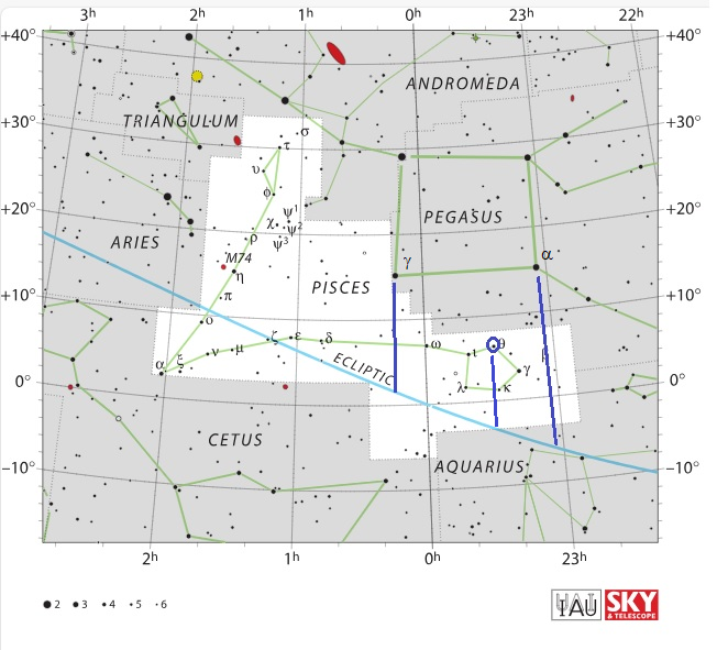 | 652 × 591 (319 KB) | Sushoff (talk | contribs) | map for the identification of Turaganga (CC BY B.S. Shylaja). |
You cannot overwrite this file.
File usage
The following page uses this file:


